 Self-Guided
Waterfalls in Glacier National Park
The falls you can walk to in an hour and the ones that take a day, area by area, with the park's own distances and when the water runs highest.
Glacier is built on falling water. The park gets about 30 inches of precipitation a year in the western valleys and 100 or more in the high cirques, and in June all of it is coming down at once: the roadside falls on Going-to-the-Sun Road run white, the trail to Avalanche Lake is a chain of cascades, and the St. Mary Valley's three falls are a half-day walk.
Below are the falls with a trail to them, grouped by the valley they sit in, with the park's one-way distances. Most are short. The ones on the east side are where our Two Medicine and Many Glacier shuttles drop you, and the roadside ones are what you ride past on the e-bike tour.
Distances from the park service's area trail lists, checked October 21, 2026
St. Mary Valley: The Three Falls Walk
| Falls | One way | Elevation | Start |
|---|---|---|---|
| Baring Falls | 0.3 miles | 250 feet down | Sunrift Gorge pullout |
| St. Mary Falls | 0.8 to 1.2 miles | 260 feet down | St. Mary Falls shuttle stop or trailhead |
| Virginia Falls | 1.6 to 1.8 miles | 260 down, then 285 up | Same trailhead, past St. Mary Falls |
The best waterfall half-day in the park: the trail drops to St. Mary Falls, turquoise and loud in June, then climbs past a string of cascades to the tall curtain of Virginia Falls. Sunrift Gorge, 200 feet from its pullout, and Baring Falls are a few minutes more. The St. Mary Falls trailhead is on the east side of Going-to-the-Sun Road; a boat from Rising Sun shortens the walk in summer.
Lake McDonald and Avalanche: The West Side
| Falls | One way | Elevation | Start |
|---|---|---|---|
| Avalanche Lake and its headwall falls | 2.3 miles | 500 feet up | Avalanche picnic area |
| Trail of the Cedars and Avalanche Gorge | 0.7 miles, accessible | Level | Avalanche picnic area |
| McDonald Falls | Roadside | None | Pullout past Lake McDonald Lodge; a 2-mile walk up the closed road in winter |
| Sacred Dancing Cascade | Short | None | Footbridge over McDonald Creek; a 5.3-mile loop on skis or snowshoes in winter |
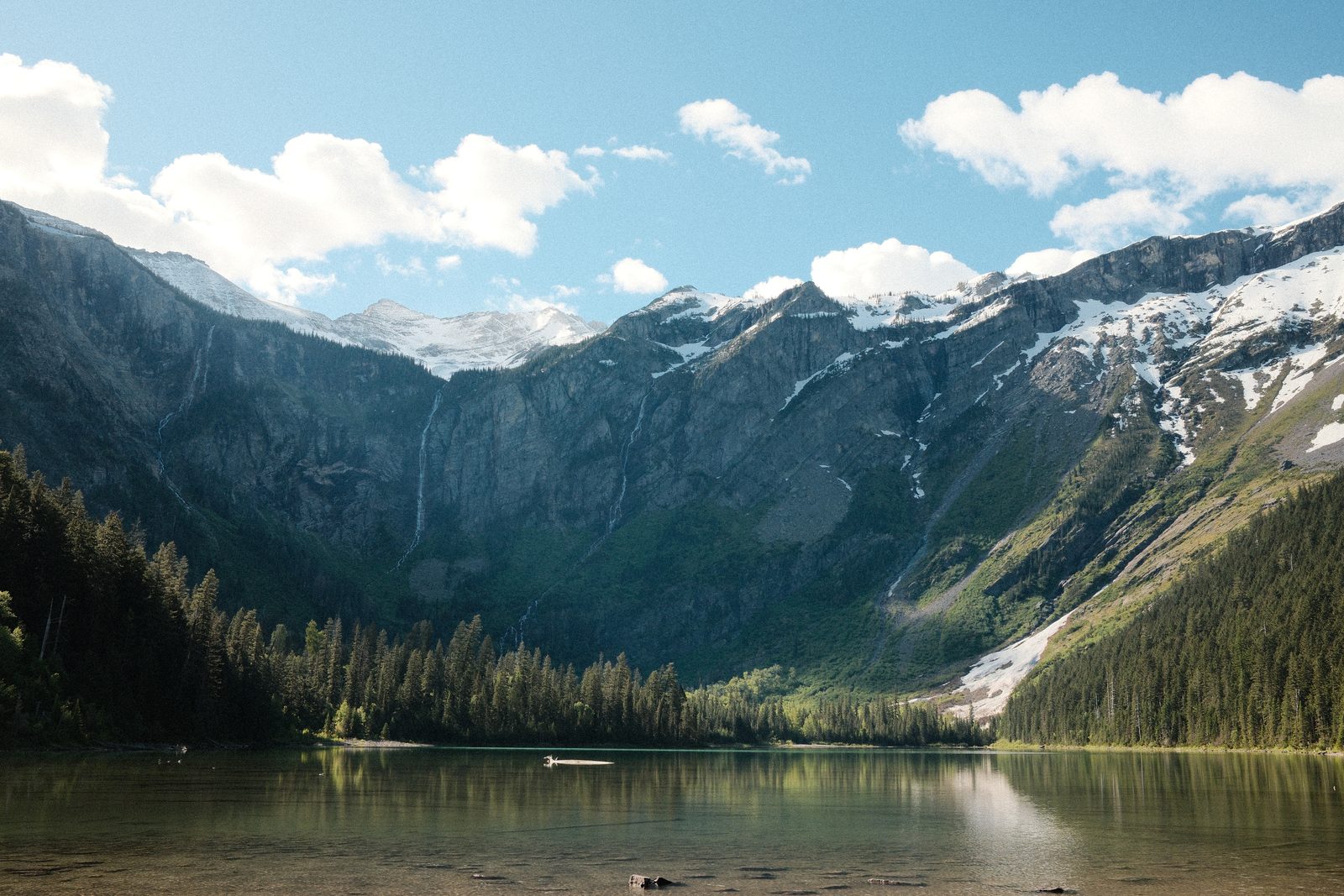
Avalanche Lake is the park's best-known short hike for a reason: the lake sits under a wall streaked with falls fed by Sperry Glacier, loudest in June and July. The Trail of the Cedars loop at its trailhead is boardwalk and pavement along Avalanche Gorge. In spring our bike shuttle drops at this trailhead; the lot fills by early morning in summer.
Two Medicine: The Short Ones
| Falls | One way | Elevation | Start |
|---|---|---|---|
| Running Eagle Falls (Trick Falls) | 0.3 miles, accessible | Level | Running Eagle Falls trailhead |
| Appistoki Falls | 0.6 miles | 260 feet up | Scenic Point parking area |
| Aster Falls | 1.2 miles | 100 feet up | South Shore trailhead |
| Rockwell Falls | 3.5 miles | 375 feet up | South Shore trailhead |
| Twin Falls | 3.5 miles, or 0.9 by boat | 75 feet up | North Shore trailhead or the boat |
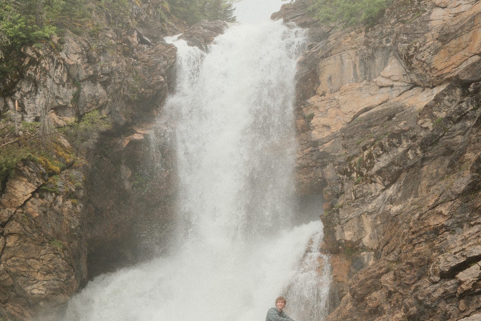
Running Eagle Falls pours through a hole in the cliff early in the summer and over the top of it later, which is why it is also called Trick Falls. It is a flat, wheelchair-accessible walk. Our Two Medicine shuttle from Columbia Falls drops at the valley for these walks and the lake. In 2026 the North Shore trailhead was closed for campground construction, with a reroute that fords a creek; the South Shore trail reaches Twin Falls without a ford, about a mile longer.
Many Glacier: Falls on the Way to the Lakes
| Falls | One way | Elevation | Start |
|---|---|---|---|
| Redrock Falls | 1.8 miles | 100 feet up | Swiftcurrent trailhead |
| Apikuni Falls | 1 mile | 700 feet up | Apikuni parking area, 1.1 miles east of Many Glacier Hotel |
| Ptarmigan Falls | 2.7 miles | 700 feet up | Iceberg Ptarmigan trailhead, on the way to Iceberg Lake |
Redrock Falls is the easy one, a nearly flat walk along the Swiftcurrent valley lakes with moose in the willows. Apikuni is short and steep. Ptarmigan Falls is the lunch stop on the way to Iceberg Lake. Our Many Glacier hiking shuttle drops at these trailheads with up to six hours to hike, which matters in a valley the park closes when its lots fill.
From the Road
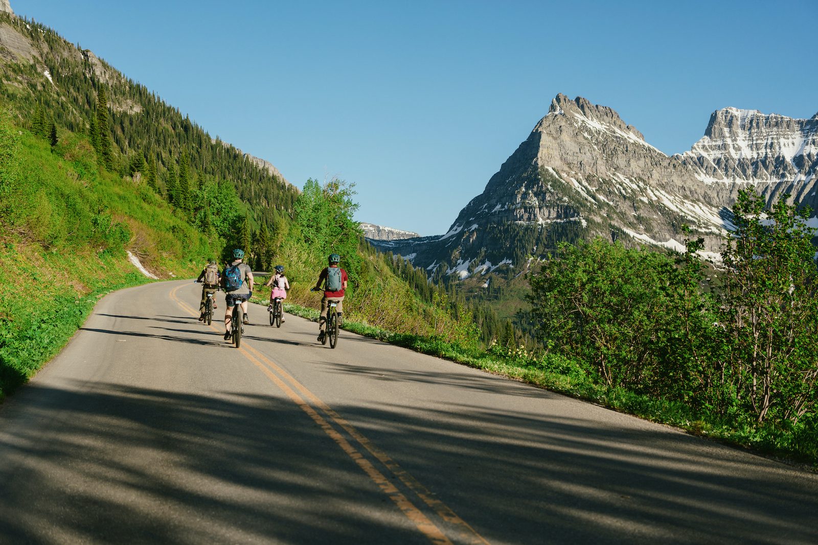
Going-to-the-Sun Road passes falls you never leave the pavement for: the Weeping Wall, where meltwater pours onto the road itself in June, and the view across the valley to Bird Woman Falls dropping from the hanging valley between Mount Oberlin and Mount Cannon. On the e-bike tour in the spring car-free weeks you ride under the Weeping Wall with no cars behind you; by August it is a trickle. The scenic drives see McDonald Falls and the lake-side cascades from the west.
The Shuttles and Rides That Reach Them
Self-Guided Self-Guided
 8 hrGuided
 5 hrGuided
Good to Know
- When are the waterfalls biggest?
- Late May through early July, when the snowpack is melting. The roadside falls on Going-to-the-Sun Road can be nearly dry by late August; the big trail falls like St. Mary and Virginia run all summer.
- Which waterfalls are wheelchair accessible?
- Running Eagle Falls in Two Medicine and the Trail of the Cedars at Avalanche, by the park's accessibility list. Both are short and flat.
- Which is the best waterfall hike with kids?
- St. Mary and Virginia Falls: short, downhill first, with the falls as the reward, and a boat option back. Running Eagle Falls is the easiest of all.
- How do I get to the east side falls without the parking fight?
- Our Two Medicine and Many Glacier shuttles leave from Columbia Falls and drop you at the trailheads. Send your dates and we confirm.
Your Next Ride Starts Here
Pick a date and see everything you can book, or call the shop and talk to someone who rides these roads every week.